Fort Assinniboine Historic District
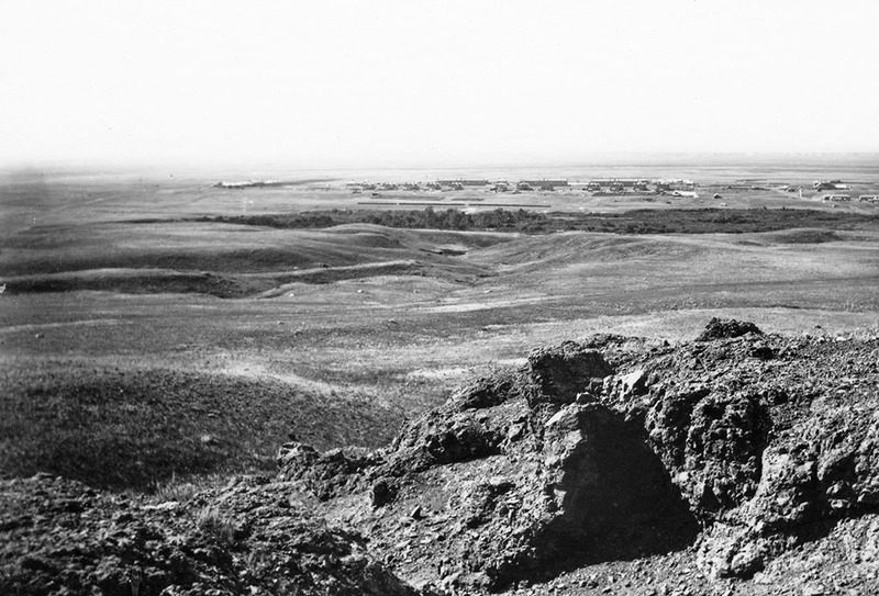
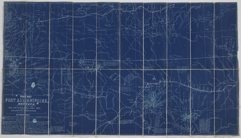
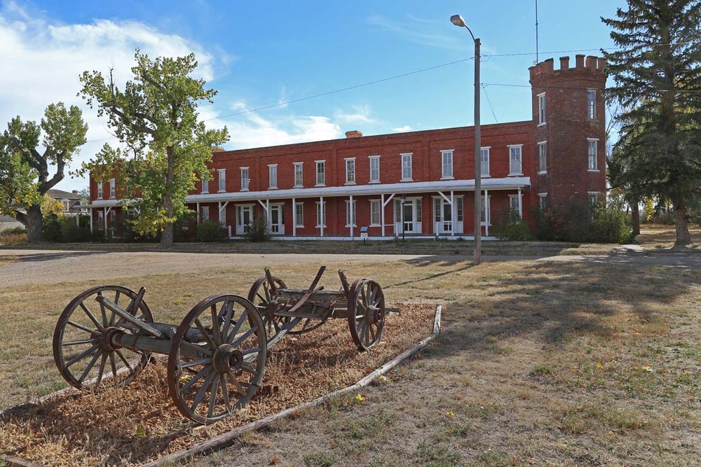
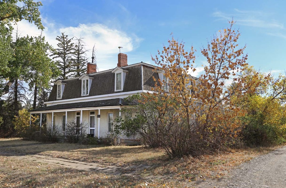
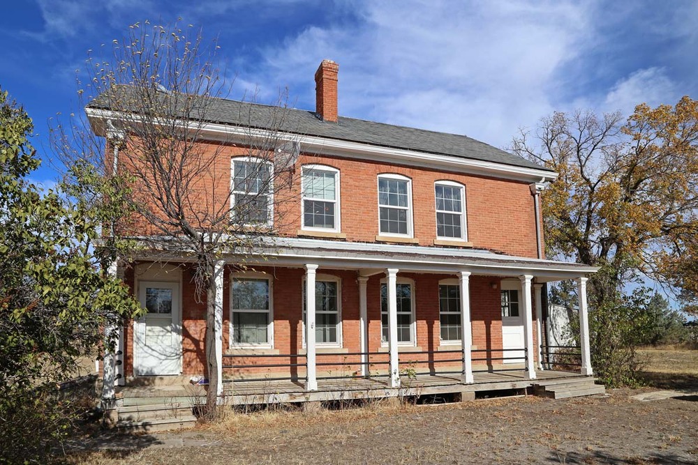
According to the United States War Department, Fort Assinniboine was established in 1879 “for the purpose of protecting the citizens of Montana from the hostile incursions of Indian tribes dwelling in that region; and especially … the Sioux which had withdrawn across the international boundary line after its victory over the United States troops in the Yellowstone country in 1876.” The first buildings were built so quickly that local Indian people said they “rose magically out of the ground.” Eventually more than 100 buildings cost in excess of a million dollars on the 220,000-acre military reserve. Fort architecture ranged from typical nineteenth century military utilitarian designs to elegant fortress styling. Garrisoned troops were to monitor the Blackfeet Nation, Gros Ventre, Assiniboine, Sioux (Lakota), Cree, and Métis; deter raiding parties; and guard wagon trains. Soldiers drilled on the parade ground, patrolled the prairies, made brick, and constructed fort buildings. These troops, however, never saw major action. Fort Assinniboine could accommodate 746 enlisted men and officers, but there were seldom more than 500. Later on, the fort housed some of the famous African-American “buffalo soldiers” of the Tenth Cavalry. Abandonment of the post by 1911 influenced the subsequent history of northern Montana; demolished buildings provided the brick for construction of Pershing Hall at Northern Montana College; 58,000 acres of fort land became part of Rocky Boy's Indian Reservation; and another portion became an experimental station for Montana State Agricultural College. Most of the land was opened to homesteading and the Beaver Creek area, first designated a federal park, became part of the largest county park in the United States.
Images