Black Otter Trail Historic District

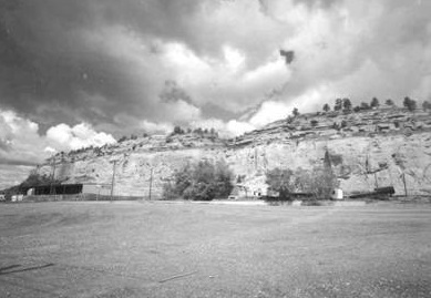
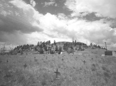
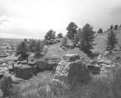
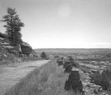
Situated atop massive sandstone rimrocks, this two-and-a-half-mile scenic roadway in Swords Rimrock Park offers unique perspectives. National Register-listed Boothill Cemetery, which served the early settlement of Coulson, Montana, anchors the eastern end while the Billings airport to the west suggests the modern era. In between, the trail and its sweeping scenic views afford a cultural and visual journey that includes the pristine Yellowstone Valley, the urban landscape, and landmarks of extraordinary significance. With changing transportation needs and the rise of tourism, the Billings Commercial Club led the thirty-year effort to create the trail. Beginning in March 1936, Works Progress Administration (WPA) put 150 men to work on the project. All the labor was done by hand to employ as many men as possible. Cutbacks in funding, however, halted the work in May. The following year the Billings City Council adopted the project, completed the road in 1938, and named it “Black Otter Trail.” The district includes remnants of the original guard rails, stone markers, the grave of trapper/explorer Luther S. “Yellowstone” Kelly, and interpretive areas. For the Crow Indians, the rimrocks were a place to gather, fast, and vision quest. According to some, the trail’s namesake was a Crow chief buried on a prominent overlook. This knoll was among the original WPA interpretive areas. Historic accounts describe dozens of traditional gravesites with bodies shrouded in blankets and bound to trees in final rest. In recognition of the trail’s extraordinary natural, historical, and cultural value, the City of Billings developed a master plan to ensure protection of this community treasure.
Images


