Lewis and Clark Bridge
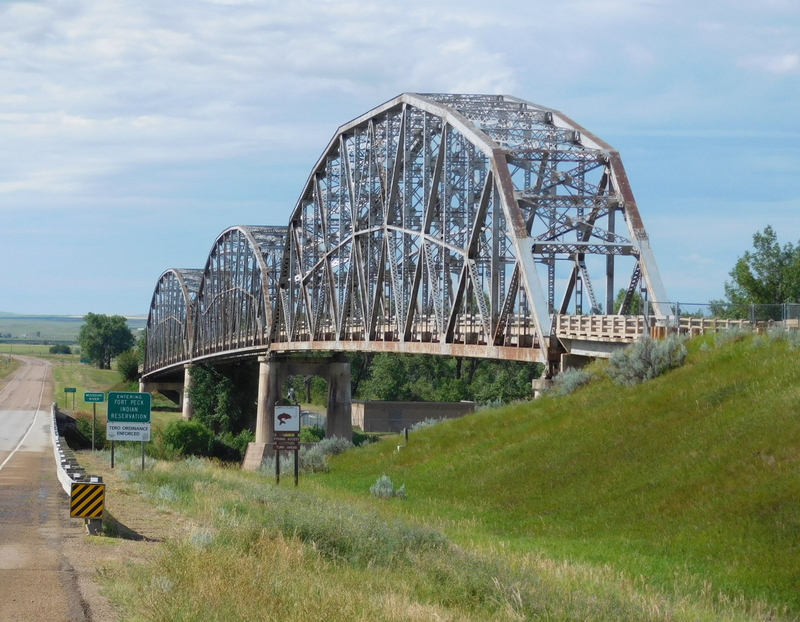
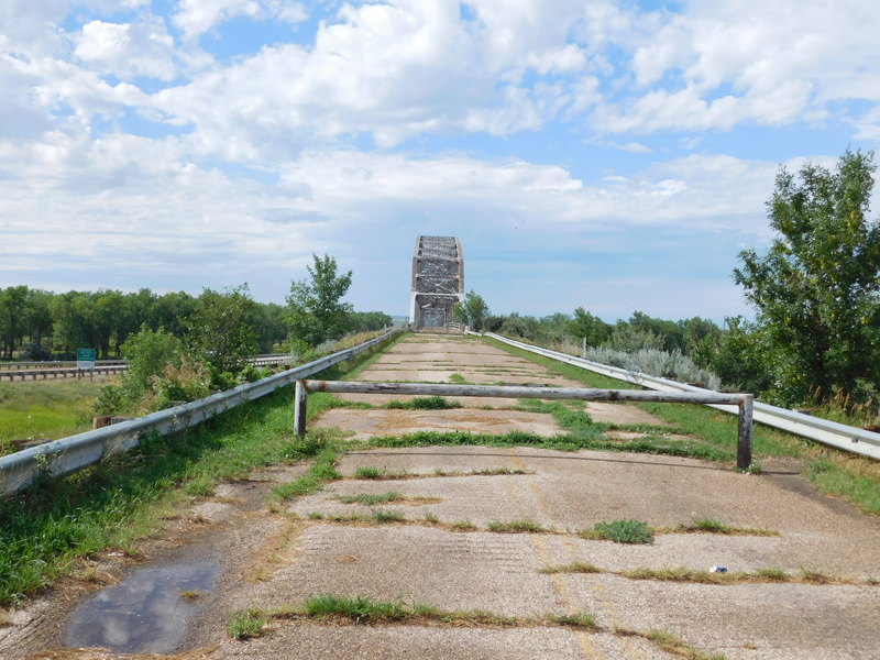
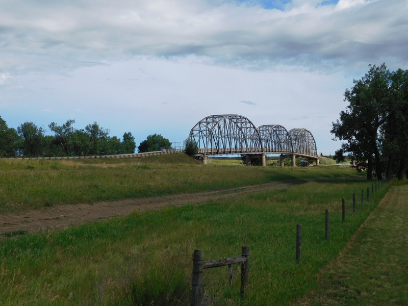
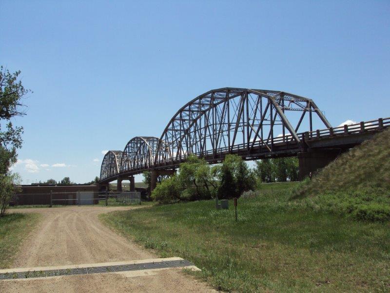
Straddling the McCone and Roosevelt county lines, for many years this was the only bridge over the Missouri River for 350 miles. Between Fort Benton, Montana, and Williston, North Dakota, the bridge connected residents to outside markets and Canadian neighbors. It was long considered a strategic point. Lewis and Clark camped here in 1805 and an army engineer noted in 1860 that this was the logical place to build a bridge. In 1861, the American Fur Company built short-lived Fort Charles just to the west. But even after 1887 when the Great Northern Railway arrived, ferries remained the only means for other traffic. Tribal lands opened in 1913 and as homesteaders poured in, still the only river crossing for man and beast was by ferry or over the ice in winter. In February 1926, the drowning of two teenagers crossing the ice in their Model T finally brought about successful lobbying. The christening of the Wolf Point Bridge took place with great fanfare in 1930. In 1945, the 140th anniversary of the Lewis and Clark Expedition prompted naming the park at the north end of the bridge for the explorers. The Wolf Point Bridge then became known as the Lewis and Clark Bridge. The later twentieth century saw modern traffic changes and the narrow bridge was replaced. Its symbolic importance, however, prompted its preservation and in 1998, the Montana Historical Society accepted ownership. Visible today from a distance of fifteen miles, the bridge appears as three ethereal puffs of gray against the prairie, representing a longtime dream that finally came true.
Images