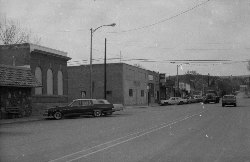
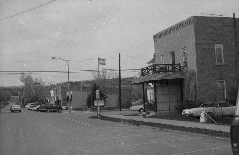
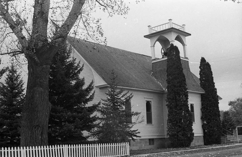
The area surrounding Joliet remained Crow country until 1892, when the Carbon Reserve Agreement cut the size of the reservation almost in half. By that time, railroads already ran through the reservation, including the Rocky Fork and Cook City Railroad, a spur line connecting the Red Lodge coal mining district to the main Northern Pacific line. Harry Duffield and John McMonigle were among the early homesteaders to file claims along the tracks. By 1896, a small town had grown up on McMonigle's claim, with a post office, four stores, three saloons, two hotels, and several residences. According to local legend, McMonigle would pretend to discourage squatters (he was still proving up and wanted to avoid legal complications) while Duffield would tell newcomers to ignore McMonigle. The charade apparently continued until McMonigle received his homestead patent in 1899. That year, "a number of energetic citizens" incorporated a town site company, which bought thirty-two acres from McMonigle for $1,600. One hundred residents called Joliet home by 1900. The population grew quickly in 1901 when the coal mine in nearby Carbonado closed, prompting several businesses and home-owners to move their buildings to Joliet. Joliet incorporated in 1906 in order to initiate electrification and construction of a waterworks, "two essentials necessary to the progress of any live, up-to-date town." By 1907, this "city of pleasant homes" boasted forty-seven residences. Many of these houses still stand today. They serve as a continuing testament to the era when Joliet was the trading center for a substantial farming district.
Images