Filed Under Missoula

Missoula Southside Historic District

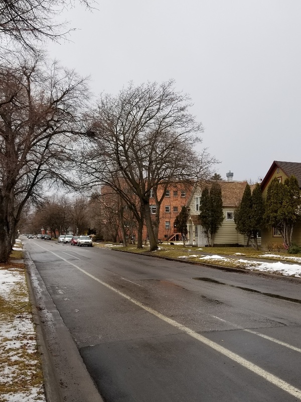
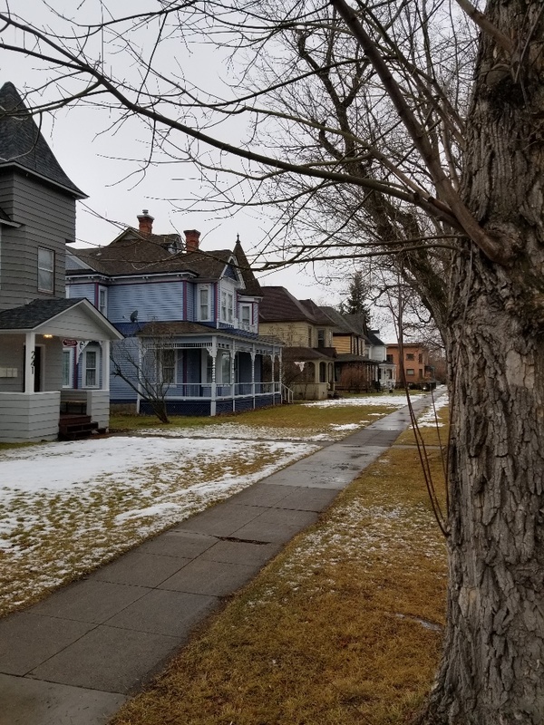
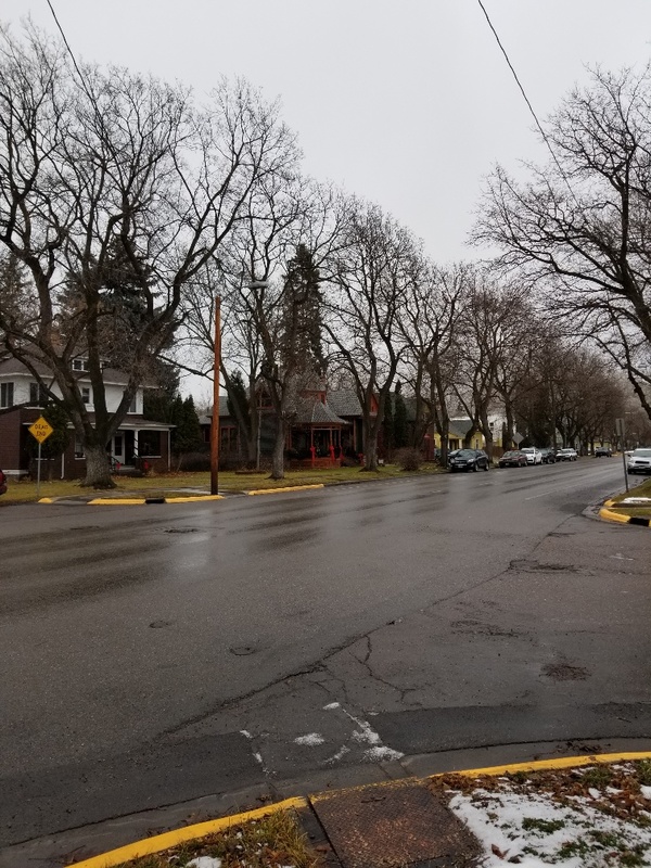
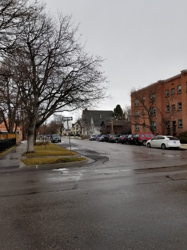
This colorful district charts Missoula's transformation from rough frontier town to established community. When the Northern Pacific Railroad chose Missoula as its division headquarters in the 1880s, the burst of activity brought investors, wealthy businessmen, and broadened horizons. Anticipating a need to escape the flurry and bustle of the town's center, Federal Judge Hiram Knowles platted this addition in 1889. By the mid 1890s, gracious Queen Anne style residences proclaimed the southside a wealthy haven with horse-drawn streetcars carrying residents across the newly widened Higgins Avenue Bridge. Influenced greatly by prominent Missoula architect A. J. Gibson, who made his home in this district, Revival styles appeared, merging asymmetrical Queen Anne with the classical symmetry of Colonial Revival. Neighborhood businesses and services brought another dimension to the district. Between 1908 and 1910, the arrival of the Chicago, Milwaukee, and St. Paul Railroad on the southside's edge added a depot and hotel. Row house apartments and smaller residences were built to accommodate a variety of professionals, entrepreneurs, and laborers. Today, the Southside District well reflects its history, mixing small businesses and Craftsman/Bungalow and vernacular style homes with the larger Queen Anne and Revival styles that recall its former exclusivity.

Click here to tour the district.

Images

Missoula Southside Historic District
Missoula Southside Historic District Missoula Southside Historic District. Overview of the historic district and the 300 block of South 6th Street West, facing west to northwest with the Rozale Apartments featured in the middle of the photograph. Digital photograph. Source: Montana Historical Society Creator: Michael Connolly Date: Jan. 2020
Missoula Southside Historic District
Missoula Southside Historic District Missoula Southside Historic District. Overview of the 200 block of South 5th Street East, facing west to southwest with the Parsons House featured as the 2nd house down the block and the Charles E. Johnson Residence next door as the 3rd house down the block. Digital photograph. Source: Montana Historical Society Creator: Michael Connolly Date: Jan. 2020
Missoula Southside Historic District
Missoula Southside Historic District Missoula Southside Historic District. Overview of the 300 block of South 5th Street East, facing east to northeast with the John E. Patterson Home featured as the first house in the foreground and the Dildine House next door as the 2nd house up the block. Digital photograph. Source: Montana Historical Society Creator: Michael Connolly Date: Jan. 2020
Missoula Southside Historic District
Missoula Southside Historic District Missoula Southside Historic District. Overview of Chestnut Street, facing north on South 6th Street West towards the subsequent streets of South 5th, 4th, 3rd, and 2nd Street West to encompass the Missoula Southside Historic District. The photograph was taken at the intersection of South 6th Street West and Chestnut Street on the northeast corner of Sacajawea Park where the Missoula Southside Historic District plaque is situated. Digital photograph. Source: Montana Historical Society Creator: Michael Connolly Date: Jan. 2020

Location

Roughly bounded by the Clark Fork River, South Higgins Avenue, South 6th Street West and Orange Street, Missoula, Montana | Private

Metadata

The Montana National Register Sign Program, “Missoula Southside Historic District,” Historic Montana, accessed July 27, 2024, https://historicmt.org/items/show/942.