Lower Rattlesnake Historic District
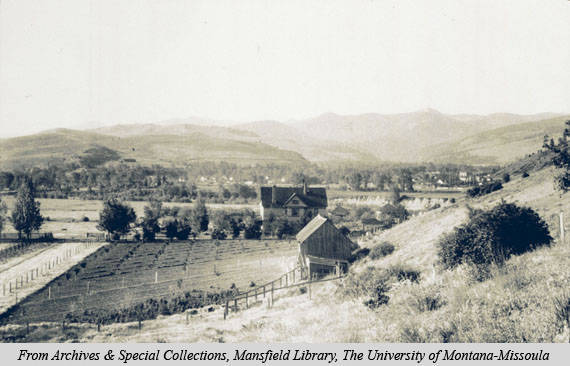
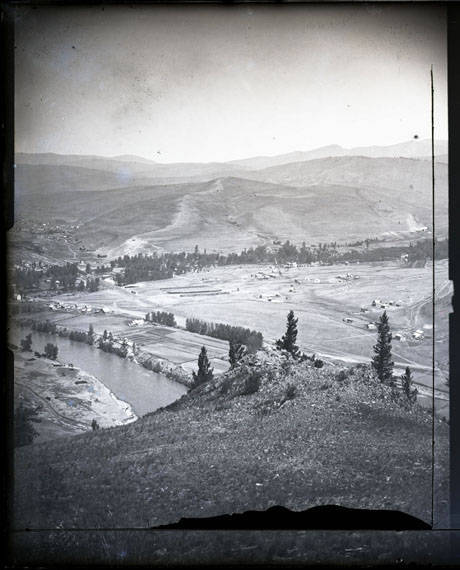
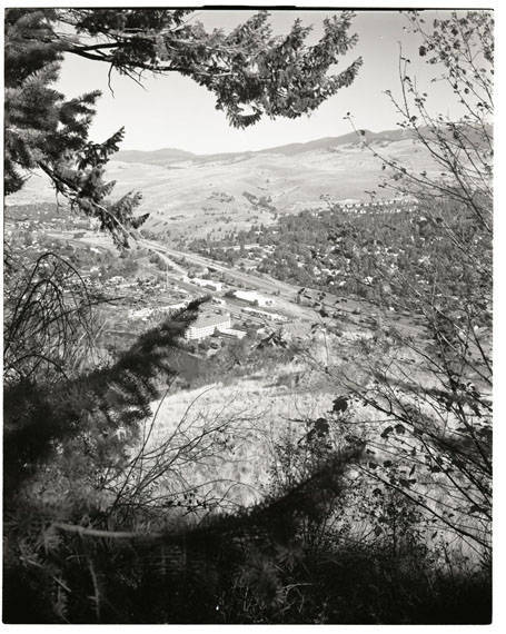
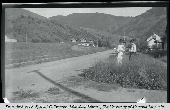
Nestled in a watershed tributary of the Clark Fork River, Lower Rattlesnake drainage has a long and significant history. Salish Indians named Rattlesnake Creek Kehi-oo-lee, and Captain Meriwether Lewis recorded the creek’s existence in his homeward trek through the region in 1806. William T. Hamilton operated a trading post nearby from 1858 to 1865, and the Mullan Road, built in 1860, skirted the area crossing Rattlesnake Creek. The creek powered the sawmill of Missoula Mills from which grew Missoula’s earliest settlement. The drainage accommodated the town’s first cemetery, and the creek supplied Missoula’s first water system. The Town Company and Woody Additions were platted here after the arrival of the railroad in 1883, and by 1890 the neighborhood was home to railroad conductors and engineers as well as teamsters, carpenters, and machinists. Legislator T. L. Greenough and his wife Tennessee donated a large wooded area to the city in 1902 for a “comfortable, romantic and poetic retreat.” Greenough Park, situated between the commercial and residential neighborhoods, attracted middle-income families, who settled along the quiet streets. To the east, extensive gardens stretched along the Clark Fork River, providing fresh produce for the city. Dwellings from simple workers’ cottages to Craftsman bungalows and traditional style homes reflect the Rattlesnake’s growth between the 1880s and 1940s. Today, twenty residential blocks and Greenough Park comprise the Lower Rattlesnake’s Historic District, listed in the National Register in 1999. Unique for its scenic amenities and isolated geography, the district bolsters Missoula’s claim as the “Garden City.”
Images