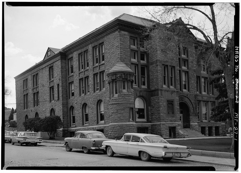
Helena South-Central Historic District
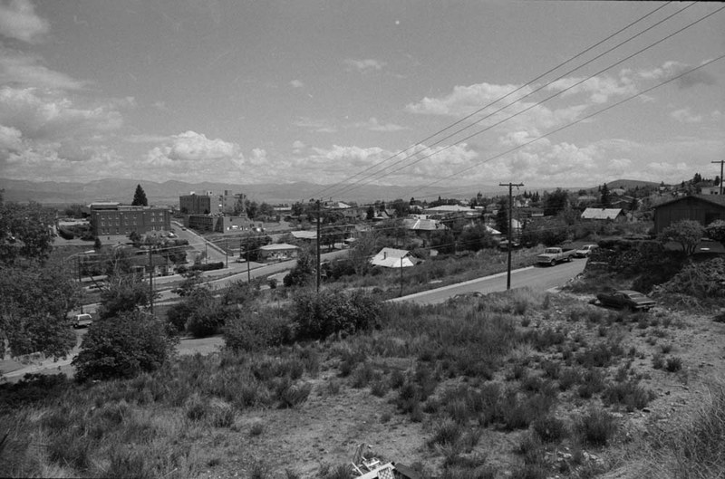
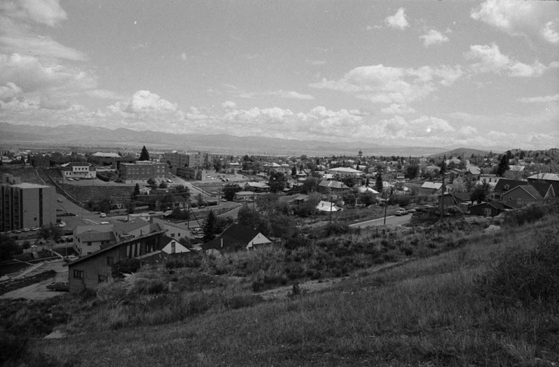
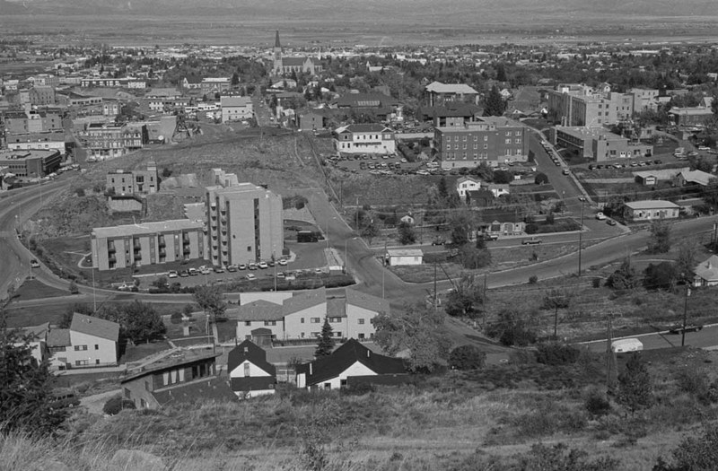
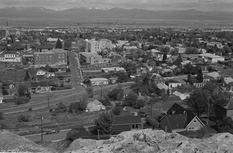
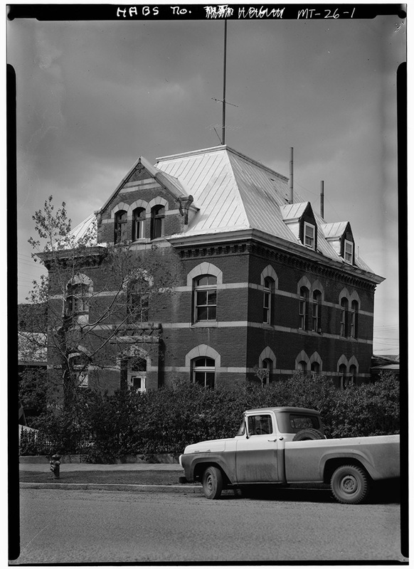
This first permanent settlement of the gold camp at Last Chance Gulch offers a glimpse of early Helena from the late 1860s to the 1890s. By the 1870s, a Catholic cathedral, St. John's Hospital, two schools, and dormitories presided over the district atop Catholic Hill. In curious juxtaposition, Helena's red-light district emerged just below along Miller and State streets in the 1880s. Mansions and modest dwellings boasted a wealth of architectural design from Second Empire to Queen Anne, Italianate, and Revival styles. The Northern Pacific Railroad in 1883 spurred economic growth and the population swelled. A German community settled on First Street and other ethnic enclaves localized in the district. The South-Central District remained a preferred location into the early 1880s, and Montana's first governor, J. K. Toole, established residency at Rodney and State streets in 1883. But district vitality waned in the late 1880s when wealthy residents built new mansions on the city's west side. The earthquake of 1935 left its indelible mark claiming most of Catholic Hill and other historic buildings. Wood siding replaced fallen brick veneer and stucco concealed exterior cracks. Though the red-light district and dozens of homes were demolished during 1970s Urban Renewal, this once robust neighborhood is still a quiet reminder of Helena's colorful past.
Images