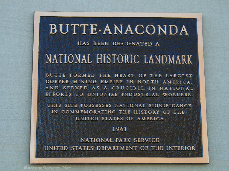
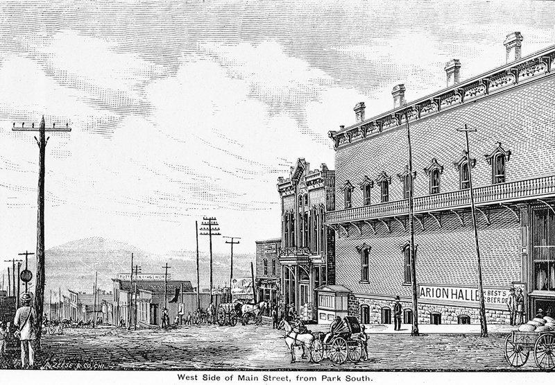
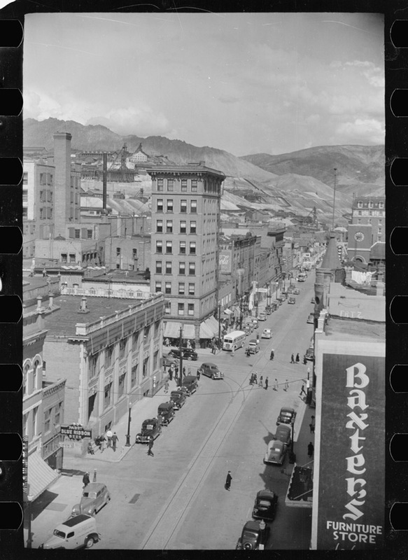
Butte-Anaconda Historic District
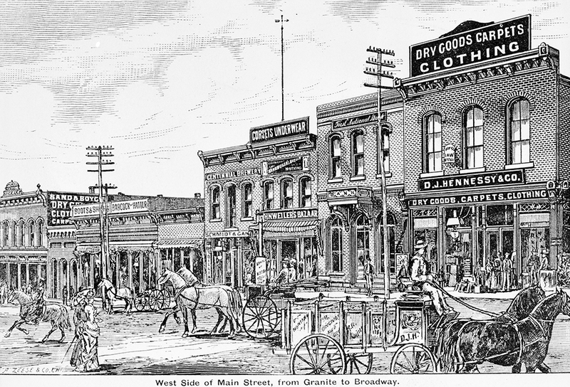
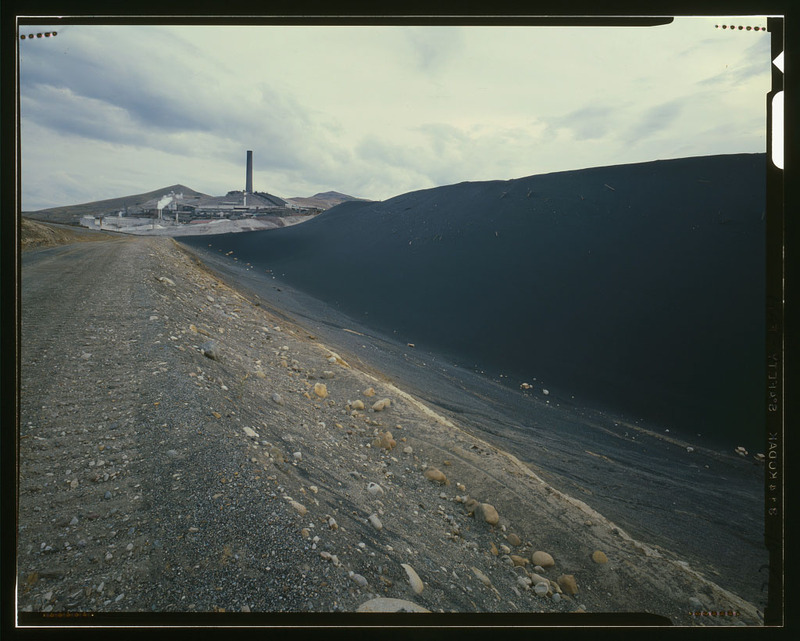
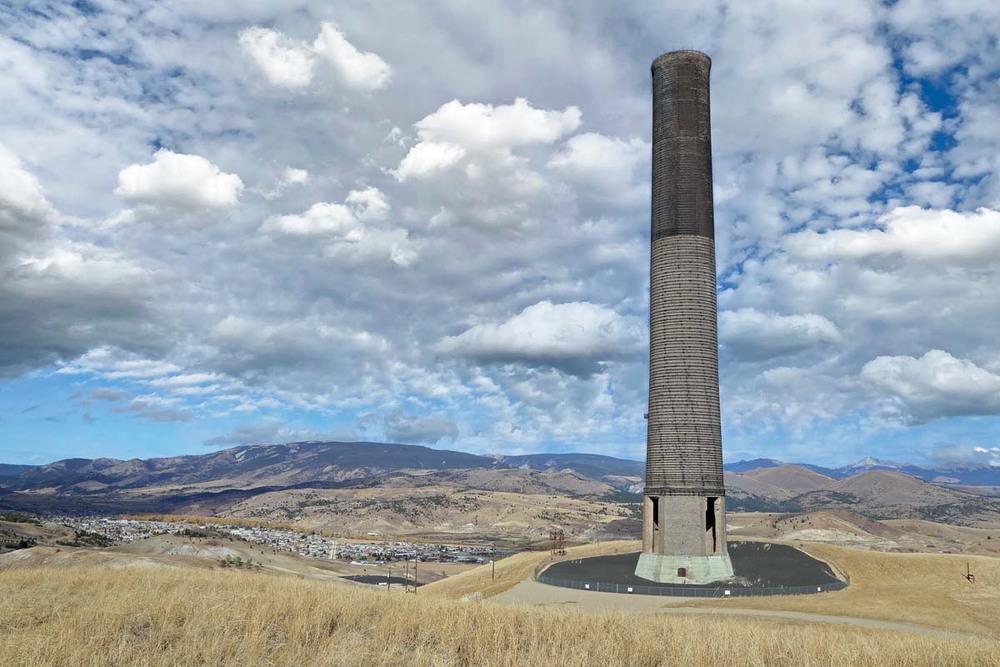
It took millions of miles of copper to build the telegraph, telephone, and electrical lines that transformed the United States from a collection of small, isolated communities to a cohesive, industrialized nation. Looming gallows frames and the towering Anaconda Company smokestack recall the industrial roots of these sister cities, the source of much of that copper. Extracting the metal was hazardous work, and the danger bred solidarity among miners and smelterworkers. Two of the nation’s most radical unions had their roots in Butte and Walkerville, “The Gibraltar of Unionism.” They were the Western Federation of Miners and the Industrial Workers of the World, whose rhetoric opposing “wage slavery” challenged the foundations of American capitalism. Clashes between capitalism and labor marked the district, especially after the 1917 Butte Granite Mountain/Speculator Mine fire, the worst hard-rock mining disaster in the nation’s history. Labor unrest and years under martial law followed in Butte, while in Anaconda, the Company fired suspected Socialists and agitators, devastating the unions. Butte and Anaconda workers reorganized during the New Deal after the federal government guaranteed the right of workers to unionize. Their four-month industry-wide strike in 1934 precipitated the birth of the CIO, an organization that helped rejuvenate the labor movement nationwide. In 2006, the National Park Service recognized Butte, Anaconda, and Walkerville’s significance to the intertwined histories of mining and labor by declaring the district a National Historic Landmark. It is the largest NHL in the West, covering the period 1876-1934 and encompassing nearly 10,000 acres with over 6,000 contributing resources.
Images
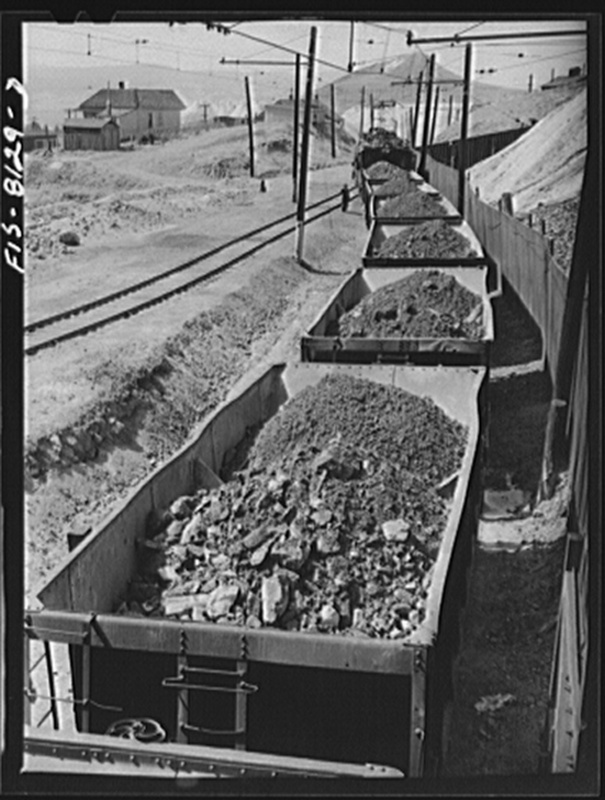
Washington, D.C. Creator: Lee, Russell, 1903-1986, photographer Date: 1942 Aug.?