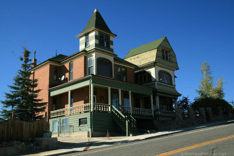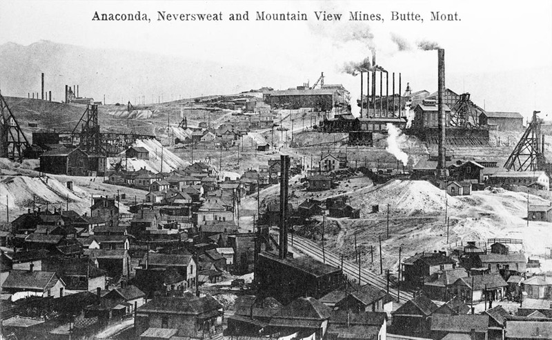
This historically Catholic neighborhood appropriately takes its name from St. Mary’s parish, which included the Irish communities of Dublin Gulch (since leveled) and Corktown. Known as the “miner’s church,” St. Mary’s scheduled services around shift changes, and early Sunday mornings miners’ lunch buckets filled its vestibule as men stopped for mass on their way to work. The first St. Mary’s, built in 1902 on North Wyoming, burned in 1931; the parish quickly rebuilt on North Main across from the Original Mine. Slavs and Finns moved to the area in the 1910s, and like their Irish neighbors, the men worked in the mines. Miles of mine tunnels wind their way below St. Mary’s streets. Above ground, the head frames of the Original, Steward, and Anselmo Mines dominate the skyline, potent symbols of the industry’s significance to those who lived in their shadows. Amidst this industrial backdrop stand tight clusters of working-class houses, over 70 percent of which were built before 1900. Often located on small dead end streets or tucked right up against the railroad tracks, these vernacular wooden homes evoke an earlier time, when miners walked to work. At the turn of the twentieth century, the narrow streets were filled with noise: shouting children and bellowing livestock (many in the neighborhood kept cows and pigs) and the unceasing din of the mine yards and railroads. Mine whistles punctuated the clamor, announcing shift changes. When pit mining replaced underground mining in the 1950s, many families moved on. With its parishioners gone, St. Mary’s Church closed in 1986.
Images