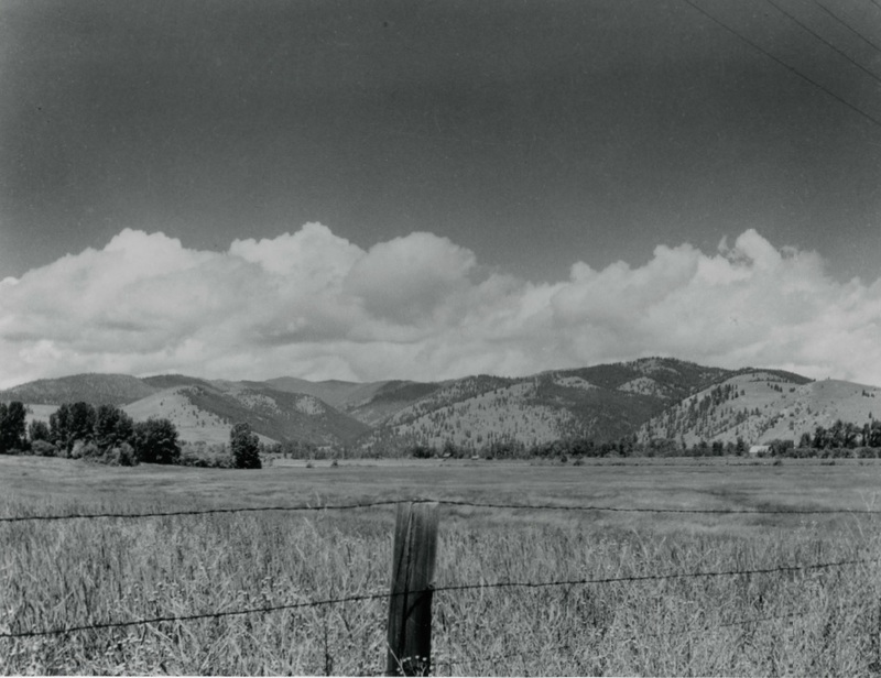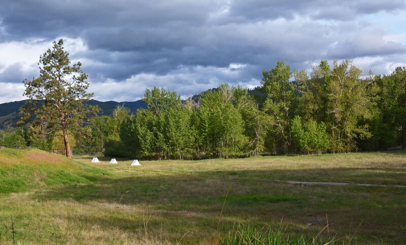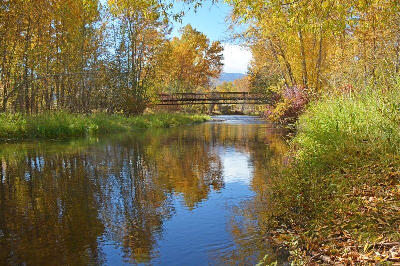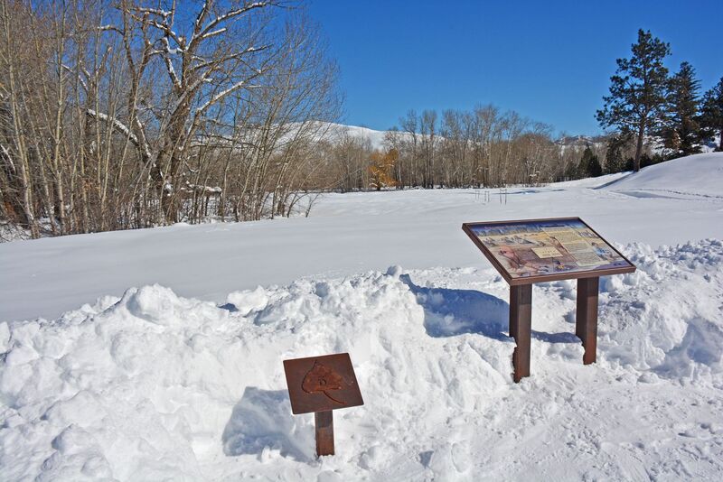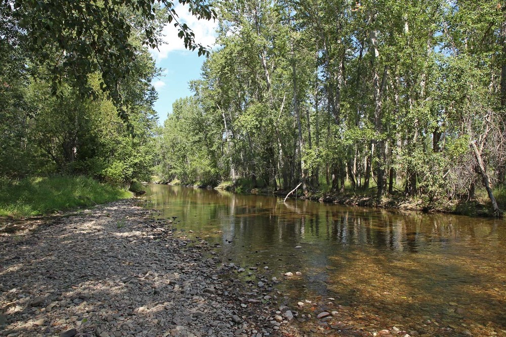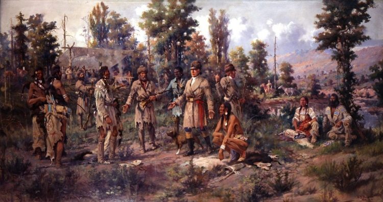
Travelers’ Rest is the only site where physical evidence documents the exact location of a campsite associated with the 1804-1806 Lewis and Clark Expedition. Situated at the eastern end of the Lolo Trail, Travelers’ Rest was used by Native peoples, most notably the Salish, Pend d ‘Oreille, and Nez Perce, centuries before Captain Meriwether Lewis, William Clark, and their Corps of Discovery ever ventured west. Situated on the banks of Lolo Creek in a spot too wet for agricultural activity, the immediate vicinity of the former campsite has changed little since members of the corps slept here. Likewise, the dominant features of the landscape to the south and west—Lolo Peak and the entrance to the Lolo Creek Canyon—still offer the same view. The explorers first camped here September 9–11, 1805, pausing briefly in their westward journey to the Pacific before they began their arduous trek over the Bitterroot Mountains. They returned the following summer, homeward bound, camping here from June 30–July 3, 1806, before splitting their party into two groups. Upon leaving, Clark and his men followed a more southerly route along the Yellowstone River while Lewis’ contingent headed north through Blackfeet country to the Marias and Missouri Rivers. The site was declared a National Historic Landmark in 1960 and became a State Park in 2001. In 2002 archaeologists unearthed evidence of the corps’ presence including a mercury-tainted trench latrine, fire hearths, and lead used in the repair and manufacture of firearms. As noted in a 2006 National Register of Historic Places amendment, “There are few places along the entire trail from Saint Louis to the Pacific Ocean that envelope such a diverse convergence of momentous historical events, peoples, and ideas.”
Images